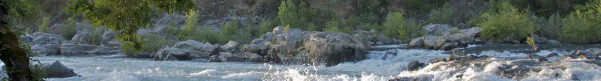
The valley is located approximately 50 miles east of Sacramento and 62 miles west of Lake Tahoe in the Sierra Nevada foothills of Northern California.
Directions
From Sacramento: On U.S. Highway 50, head east on Highway 50 toward Placerville and South Lake Tahoe. Exit U.S. Highway 50 immediately after the Cameron Park Road exit on Ponderosa Road for Shingle Springs. Upon exiting Highway 50, cross (left) over the freeway, heading north, and turn right on the first road, North Shingle Road. You will be traveling a total of about 11 miles before reaching the Coloma valley. At the “T” that marks the junction of Highway 49 and Lotus Road, turn right to go to Marshall Gold Discovery State Historic Park and left to access many local businesses listed in this guide.
From Placerville: Turn north onto Highway 49 off Highway 50, and follow this road approximately eight miles to the Coloma-Lotus valley. You will first enter the state park; Lotus and most area businesses are beyond.
From Auburn/Interstate 80:Turn south on Highway 49, traveling about 18 miles south to the valley. Part of this route winds for several miles through the rugged canyon of the North and Middle forks of the American River; visitors with very large RVs may choose to access the valley via Shingle Springs/Cameron Park Highway 50 route described above.


River Maps

From Chili Bar to Salmon Falls takeout, with roads and access points.
More detailed map covering Chili Bar to Camp Lotus.
More detailed map covering Camp Lotus to Salmon Falls.
Historic Maps

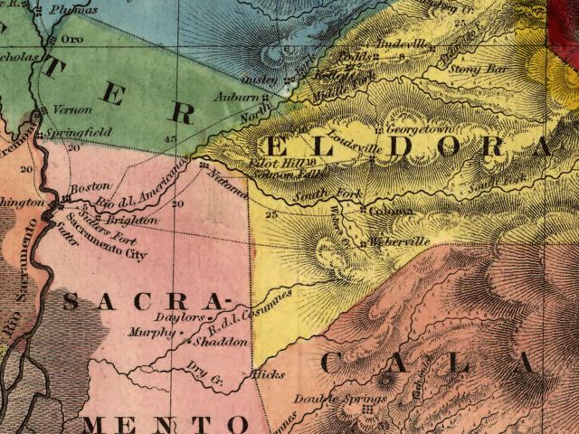
The Coloma section of an 1851 map of the California Gold Region by Charles Clayton Gibbes, from the Library of Congress collection. Click here for access to the full map covering the state of California, with zoom controls.

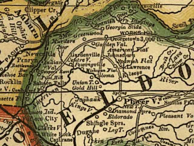
The Coloma-Lotus section of an 1883 Rand McNally Map from the Library of Congress collection. Click here for access to the full map covering the state of California, with zoom controls.